The Silt-Clogged Wells of Farmana: What Mature Harappan Stratigraphy Reveals About Groundwater Depletion
An analysis of stratified clay and wedge-shaped bricks in the wells of Farmana, Haryana, reveals how Harappan urban planners adapted to falling water tables before abandonment.

Rohan Bhattacharya for SwavedaSeptember 8, 2026
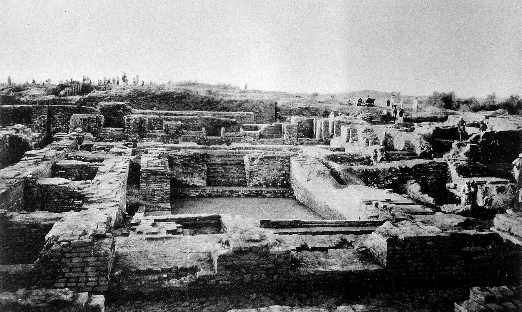
The archaeological site of Farmana, also known as Daksh Khera, sits in the Rohtak district of Haryana within the Ghaggar-Hakra river basin. Excavations led by the Deccan College Post-Graduate and Research Institute, in collaboration with Research Institute for Humanity and Nature, Kyoto, and Haryana Heritage Department, have exposed a highly organized settlement spanning the Early to Mature Harappan periods. While headlines often focus on the extensive cemetery or the layout of the residential blocks, the quiet story of Farmana's decline is preserved in its wells.
Excavators working on the site exposed circular, brick-lined wells that served the domestic needs of the settlement. To an archaeologist, a well is more than a water source. It is a vertical shaft cutting through chronological layers, acting as a sediment trap that preserves a sequence of human intervention and environmental change. The stratigraphy of these wells reveals a desperate, multi-generational effort to chase a receding water table before the site was eventually abandoned.
The Engineering of Harappan Wells
During the Mature Harappan phase, dated generally from 2600 BCE to 1900 BCE, urban planning relied heavily on accessible groundwater. At Farmana, as described in excavation reports published in Puratattva and Man and Environment, the residents constructed wells using specially manufactured wedge-shaped bricks.
In standard masonry, rectangular bricks leave wide, unstable gaps on the outer radius when laid in a circle. The Harappans solved this structural problem by baking trapezoidal bricks. The inner edge of the brick was narrower than the outer edge, allowing the units to fit together tightly in a ring. This design resisted the immense lateral pressure of the surrounding earth, preventing the well walls from collapsing inward.
The initial construction of these wells indicates a high water table. The original depth of the shafts corresponds to the geological strata that held the primary aquifer during the mid-third millennium BCE. The purity of the lower silt layers inside these wells indicates that for generations, water flowed freely, leaving only thin, naturally sorted lamina (microscopic layers of sediment) at the bottom.
Stratigraphy of Hydrological Stress
The upper sections of the Farmana wells tell a different story. In the later phases of the Mature Harappan period, the stratigraphy within the well shafts changes dramatically. Instead of clean, water-lain silts, the deposits become thick, poorly sorted, and packed with anthropogenic debris (human-made refuse).
Excavators documented several key structural modifications that point to hydrological stress:
- Shaft Deepening: The original brick linings end abruptly, below which are crude extensions. As the water table fell, the inhabitants dug deeper into the natural soil, sometimes lining the new, narrower extensions with smaller, less-standardized bricks or leaving them unlined.
- Siltation Layers: Thick bands of dark, organic clay interbedded with fine sand suggest that the wells were frequently dry. During dry spells, wind-blown dust gathered in the shafts. When brief seasonal rains arrived, they washed loose topsoil and refuse into the dry wells, creating dense, unstratified clay plugs.
- Debris Fields: The upper layers of the wells contain high concentrations of broken pottery, animal bones, and charcoal. This indicates that once the wells failed to reach the water table, they were repurposed by the remaining population as refuse pits.
In archaeological field methods, the transition of a feature from a primary function (water retrieval) to a secondary function (refuse disposal) is a classic indicator of site abandonment or severe systemic stress. The pottery styles retrieved from these terminal silt layers belong to the Late Harappan transition, showing that as the water table collapsed, the traditional civic administration of the town broke down.
Regional Implication for the Ghaggar-Hakra Basin
The stratigraphic evidence from Farmana does not exist in isolation. Reports by the Archaeological Survey of India (ASI) across Haryana and Punjab document similar patterns of well modification and drying.
Scholars debate the exact driver of this hydrological shift. One school of thought, supported by geomorphological studies in Antiquity, suggests that tectonic shifts diverted the glacial sources of the Ghaggar-Hakra river system, transforming perennial rivers into seasonal torrents. Another perspective argues that a weakening of the Indian Summer Monsoon led to a regional reduction in precipitation, which gradually depleted the shallow aquifers that the wedge-shaped brick wells tapped into.
Evidence shows that the Harappans did not abandon Farmana overnight. The physical modifications to the wells—the deepening of the shafts and the repair of the brick linings—show a persistent attempt to adapt. However, the stratigraphy confirms that engineering could not outpace ecology. The water table eventually sank beyond the reach of hand-dug wells, leaving behind the silt-clogged shafts that record the final years of the city.