The Shakya Republic Had No Border Post: Mapping the Buddha's World Before India and Nepal Existed
A Reddit argument over whether the Buddha was "Indian" or "Nepali" misreads the 6th century BCE map. Here's what the janapada system actually looked like.

Kavya Sharma for SwavedaJuly 31, 2026
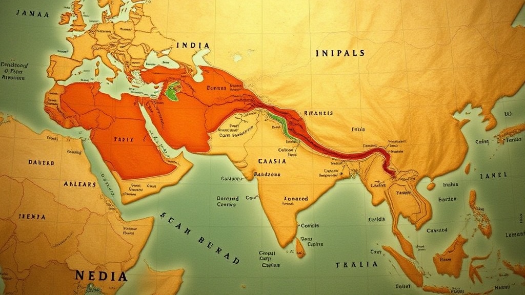
A Nepali Redditor asked a simple, exasperated question: why do some Indians insist the Buddha was Indian, when he was born in what is now Nepal? The thread collected the usual replies — maps, half-remembered facts about the Tarai (the lowland belt south of the Himalayan foothills), a few insults. Nobody in the thread was wrong to care. But the question itself carries an assumption that doesn't survive contact with the period: that "India" and "Nepal" were places a 6th century BCE person could have pointed to on a map.
They weren't. In the Buddha's lifetime, the land that later became the India-Nepal border was carved into janapadas — a Sanskrit term meaning roughly "where a people (jana) has set its foot (pada)," used for an early territorial and political unit, something between a tribal homeland and a proto-state. There was no line, no customs post, no shared idea of two nations separated by a frontier. There was a patchwork of clans, kingdoms, and confederacies spread across the Gangetic plain, and the Buddha was born into one small piece of that patchwork.
The Shakyas and Their Neighbors
The Buddha, born Siddhartha Gautama, belonged to the Shakya clan, whose capital is traditionally identified as Kapilavastu. The Shakyas ran a gana-sangha — a republic or oligarchy governed by an assembly of clan elders rather than a single king — which made them politically distinct from monarchies like Kosala and Magadha that were growing more powerful around them. Buddhist tradition holds that the Shakya republic was not fully sovereign: it functioned under the looser authority of the larger kingdom of Kosala, whose capital was Shravasti.
This matters for the border question, because Kosala's territory straddled the modern line entirely. The Shakya homeland sat in the Tarai belt, the low, once-forested plain that today is split by the India-Nepal boundary — a boundary drawn by 20th-century treaty-making, not by any ancient Shakya assembly.
Scholars generally group the political landscape of the Buddha's era under the label of the sixteen mahajanapadas (great janapadas), a list preserved in later Buddhist and Jain texts. The list includes major monarchies — Magadha, Kosala, Vatsa, Avanti — alongside smaller republics like the Shakyas, the Licchavis of Vaishali, and the Mallas. These units bordered each other, fought each other, absorbed each other. Magadha, based around modern Bihar, eventually swallowed most of its neighbors and became the core of the Mauryan Empire. None of this expansion followed a river, a mountain range, or any boundary that maps onto the current India-Nepal border.
Where Kapilavastu Actually Is (Or Might Be)
Here the evidence gets genuinely contested, and it's worth being honest about the register: this is not settled archaeology, it's scholarly debate. Two sites claim to be ancient Kapilavastu. One is Tilaurakot, in Nepal's Tarai region, excavated extensively since the 19th century. The other is Piprahwa, just across the modern border in India's Uttar Pradesh, where 19th-century excavation turned up an inscribed relic casket that some scholars read as naming the Shakyas directly. Both sites have Buddhist-era brick structures, both have partisans among archaeologists, and neither claim resolves the "Indian or Nepali" argument — because both sites sit inside what was, in the Buddha's time, the same undivided cultural and political zone straddling the Tarai.
Lumbini, the traditionally accepted birthplace itself, is not in dispute in the same way: it is inside modern Nepal, marked by the Ashokan pillar inscription that the Mauryan emperor had installed roughly two centuries after the Buddha's death to commemorate a royal visit to the spot. That pillar is one of the few pieces of hard epigraphic evidence anchoring any part of the Buddha's biography to a fixed location. It says nothing about nationality, because the concept didn't exist yet to say anything about.
Why the Anachronism Persists
The instinct to ask "which country was he really from" is modern, and understandable — nations want founding figures, and Buddhism is one of the most consequential ideas to originate on the subcontinent. But the mahajanapada map shows a world organized around clan loyalty, language, and river-valley geography, not citizenship. The Shakyas answered to Kosala. Kosala eventually fell to Magadha. Magadha became the spine of an empire that, under Ashoka, stretched from Afghanistan to Karnataka — a political entity with far less resemblance to the modern Republic of India than a mahajanapada had to either modern nation.
Treating the Buddha as "Indian" or "Nepali" doesn't just get the geography wrong. It erases the actual political texture of his world — the assemblies, the tributary arrangements, the shifting frontiers between clans that had never heard of the categories being argued over their birthplace sixteen centuries before those categories existed.
The border that runs through the Tarai today was drawn by treaty-makers who never had to consult a Shakya elder about where his republic's territory ended.