The Mudbricks of Kunal: Reassessing the Early Harappan Transition through Stratigraphic Soil Analysis
Soil micromorphology at Kunal in Haryana reveals a gradual, continuous evolution from pit dwellings to mudbrick architecture, challenging older models of abrupt cultural transitions.

Rohan Bhattacharya for SwavedaAugust 4, 2026
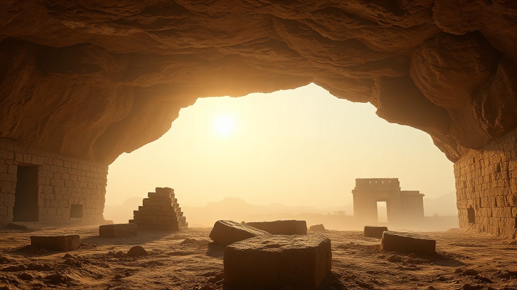
The transition from nomadic pastoralism to organized urban life in the northwestern region of the Indian subcontinent is often discussed in dramatic terms. Popular narratives frequently depict the sudden appearance of standardized mudbrick settlements as a rapid technological leap. However, meticulous stratigraphic examinations conducted at the site of Kunal, located on the dry bed of the Ghaggar-Hakra river system in the Fatehabad district of Haryana, present a far more gradual picture of human adaptation.
Recent soil morphology and micromorphological analyses of the oldest occupational layers at Kunal challenge the traditional abrupt-transition model. By looking closely at the soil thin sections, researchers are finding that early agriculturalists did not suddenly abandon their older architectural traditions. Instead, they gradually adapted their pit-dwelling techniques to mudbrick architecture, showing a steady, continuous transition from the Hakra phase to the Early Harappan period.
The Hydrological Context: The Ghaggar-Hakra Debate
The location of Kunal along the dry bed of the Ghaggar-Hakra river system places it at the center of a long-standing academic controversy. Scholars debate whether this dry river channel corresponds to the legendary, lost Sarasvati River mentioned in the Rigveda (an ancient collection of Sanskrit hymns).
Under one perspective, a group of archaeologists and geologists argues that the Ghaggar-Hakra bed is the relic of a once-mighty, perennial river system that sustained the Harappan civilization before drying up due to tectonic shifts and monsoonal decline. This view holds that the river was the historical Sarasvati.
Conversely, another group of scholars, including several historians and paleoclimatologists, argues that the Ghaggar-Hakra was never a single, massive perennial glacier-fed river during the Harappan period. Instead, evidence shows it was a seasonal, monsoon-fed stream. These researchers suggest that the identification of this channel with the Rigvedic Sarasvati is a later geographical projection rather than a historical reality. While this debate remains unresolved in South Asian archaeology, the stratigraphic record at Kunal itself provides concrete, localized data on how human populations managed their water and soil resources regardless of the river's ancient name.
Excavating the Foundations of Kunal
First excavated by the Haryana State Department of Archaeology and Museums, alongside the Archaeological Survey of India (ASI), Kunal has long been recognized as one of the earliest agricultural settlements in the region. Reports published in the ASI journal Puratattva have documented a sequence of development divided into three distinct phases: Period I (subdivided into IA and IB), Period II, and Period III.
In the earliest phase, Period IA, the inhabitants lived in subterranean pit dwellings. These pits were circular or oval depressions dug into the natural soil, plastering the interior walls with local silt and clay. In Period IB, these pits grew larger and were reinforced, eventually leading to Period II, where above-ground mudbrick houses became the dominant architectural form.
While older archaeological assessments relied primarily on macro-level observations—such as measuring the dimensions of pits or counting recovered pottery sherds—modern researchers are focusing on micromorphology (the study of undisturbed soils and sediments at a microscopic level). This technique involves taking undisturbed soil blocks from the excavation profiles, hardening them with synthetic resin, and cutting them into ultra-thin slices. Under a polarizing microscope, soil scientists can observe the microscopic arrangement of clay minerals, organic matter, anthropogenic debris (human-made waste), and void spaces within the soil profile.
What the Micro-Layers Reveal
Stratigraphic soil analysis of the transition layers between Period IA and Period IB reveals no sudden break in occupation. There is no thick layer of windblown sand or sterile silt (soil layers containing no artifacts) that would suggest the site was abandoned and reoccupied by a different group of people. Instead, the boundary between the pit-dwelling phase and the early mudbrick phase is highly bioturbated (disturbed by living organisms) and mixed with domestic refuse, indicating continuous human presence.
Micromorphological analysis of the plasters used in the early pit dwellings shows a highly specific recipe. The early inhabitants mixed local alluvial silt (river-deposited soil) with organic temper (strengthening material), such as finely chopped straw or animal dung, to prevent the plaster from cracking as it dried. When scientists analyze the earliest mudbricks found in the transition phase of Period IB, they find the exact same microscopic fabric. The mineral composition, grain-size distribution, and organic void patterns in the earliest above-ground mudbricks match the plaster used in the older pit walls.
This microscopic signature indicates that the technology of making mudbricks did not arrive as a fully formed import from an outside source. Rather, the local population applied their long-standing knowledge of mixing and tempering clay—honed over generations of maintaining pit dwellings—to create sun-dried blocks. The mudbrick was simply a modular evolution of the plastered pit wall.
The Gradual Shift in Architecture
According to excavation reports published in the journal Man and Environment, the architectural shift was highly pragmatic. Living in pits offered excellent thermal insulation against the extreme summer heat and freezing winter winds of the Haryana plains. However, pits are highly vulnerable to seasonal flooding.
The stratigraphic layers of Period IB document a hybrid phase of construction. Before transitioning entirely to above-ground houses, the inhabitants of Kunal began lining the upper rims of their subterranean pits with one or two courses of mudbricks. This hybrid design raised the lip of the pit above the ground level, preventing surface runoff from flooding the domestic space during monsoon downpours. Over time, these retaining walls grew higher, eventually rendering the dug-out pit unnecessary. By Period II, the pits were completely filled in with domestic refuse and occupational debris, serving as flat foundations for multi-roomed mudbrick houses.
This gradual architectural evolution is also reflected in the material culture. The handmade, pale-red pottery of the Hakra ware phase does not vanish abruptly. Instead, it coexists with wheel-made Early Harappan bi-chrome (two-colored) pottery in the transitional layers of Period IB. The gradual replacement of older ceramic types mirrors the slow transformation of the residential architecture.
Rethinking the Early Harappan Transition
These findings complicate the older, cleaner chronologies that split the prehistory of Haryana into rigid, disconnected boxes. In many textbook accounts of the Indus Civilisation, the "Hakra Phase" and the "Early Harappan Phase" are treated as distinct cultural horizons separated by a clear technological boundary.
The stratigraphy at Kunal shows that these cultural boundaries are academic conveniences rather than historical realities. The soil beneath our feet preserves a record of continuous experimentation, adaptation, and preservation of local knowledge. By shifting the focus from spectacular museum pieces to the micro-stratigraphy of mud and silt, archaeologists are discovering that the road to Indian urbanization was paved one slow, logical step at a time.