Administrative Logic: Geography and the Indo-Gangetic Divide
Environmental constraints and agricultural tax demands shaped the differing governance models of India’s northern plains and its mountainous northwest.

Asha Naidu for SwavedaJuly 21, 2026
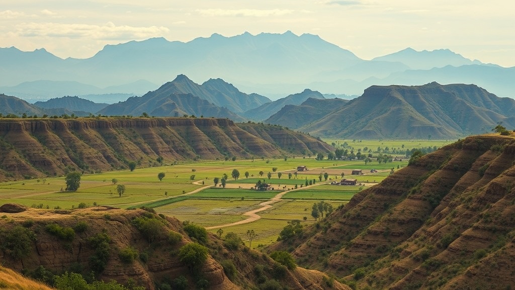
The word administration arrives in English via the Latin administrare, meaning to serve or assist. In the context of ancient South Asia, however, the concept is inseparable from the material reality of the soil. Scholarly debate regarding the Arthashastra—a foundational treatise on statecraft—often centers on its contested authorship and dating. While tradition holds that it was the work of Chanakya, the advisor to Chandragupta Maurya, historians frequently range its composition from the 4th century BCE to the 2nd century CE. Regardless of its exact chronology, the text provides a detailed manual for managing a centralized state that is intrinsically tied to the Indo-Gangetic plain.
The Tax Base as a Structural Limit
The administrative model presented in the Arthashastra is built upon a high-intensity agricultural tax base. This system requires a stable, sedentary population engaged in grain production, which allows a central authority to collect a predictable share of the harvest. This model flourished in the fertile river valleys of the Ganges, where environmental conditions allowed for high population density and the surplus production necessary to sustain a bureaucratic and military apparatus.
This logic of extraction relies on legibility: the state must be able to count households, measure land, and monitor crops. As noted by historian Hermann Kulke, the environmental geography of the Northwest—characterized by rugged terrain and arid conditions—posed fundamental challenges to this mode of governance. In regions where the land does not support consistent, high-yield cereal monoculture, the administrative burden of maintaining a standing army and a centralized tax bureaucracy often exceeds the potential revenue generated by the local economy.
Geography and Governance
The Indo-Gangetic divide is not merely a topographical feature; it is an administrative threshold. East of this divide, the alluvial plains allowed for the consolidation of large, land-based empires that functioned as "states" in the sense described by the Arthashastra. These states could project power over vast distances because they were connected by navigable rivers and a surplus-producing hinterland.
West of the divide, the terrain shifts. The Northwest, with its mountain passes and nomadic corridors, favored a model of decentralized chieftaincies. Governance in this region historically relied on trade-based revenue—customs, transit duties, and the protection of caravans—rather than agrarian land taxes. While a central authority in the Gangetic core might attempt to project power into the Northwest, evidence shows that maintaining permanent control was logistically difficult. The cost of stationing administrators in a region that lacked a dense, controllable agrarian tax base often forced these states to revert to loose tributary arrangements.
The Logic of Fluidity
Scholars debate the extent to which these differences were intentional or merely reactions to environmental necessity. When we examine primary-source texts from the period, we see an emphasis on the Saptanga (seven limbs of the state). This concept categorizes the pillars of government as the Swami (the King), the Amatya (the ministers or bureaucracy), the Janapada (the territory and its people), the Durga (the fortified capital), the Kosha (the treasury), the Danda (the army), and the Mitra (the allies). Each of these limbs requires a reliable flow of resources.
In the Northwest, the Durga and the Kosha often took on different meanings. Rather than static granaries, wealth was expressed through the control of movement. The "administrative logic" of the region was therefore inherently more fluid. Trade routes necessitated alliances with local clans who held the passes. Unlike the sedentary bureaucracy of the plains, where the state sought to fix populations to the land, governance in the Northwest functioned by managing the movement of goods and people.
Evidence vs. Interpretation
Distinguishing between what "tradition holds" and what "evidence shows" is central to this analysis. Tradition suggests that the Mauryan or Gupta empires exerted uniform control across their territories. However, archaeological evidence regarding the distribution of punch-marked coins—early currency pieces stamped with symbols—suggests a more complex reality. As argued by Romila Thapar, the presence of state-backed currency becomes thinner as one moves away from the core plains into the mountainous northwest, indicating a shift from direct administrative oversight to informal influence.
Understanding this divide helps us move away from the assumption that the "state" was a monolithic entity across the subcontinent. Instead, we see a patchwork of governance models, each responding to its local ecological constraints. The Arthashastra describes an ideal for a specific type of environment. When applied to the Northwest, that same model frequently encountered the physical limits of tax-based statecraft, leading to the decentralized, flexible structures that have historically characterized the region's political life.
By shifting our focus from the broad strokes of imperial history to the specific constraints of the landscape, we gain a clearer view of why certain administrative forms thrived while others remained elusive. The history of India is not just a history of dynasties, but a history of how different societies managed their resources in relation to the world around them.